Advanced Software for High Resolution Modeling (HRSC) and Remediation of Environmental Sites
Connect with us to start modeling your data!
About
Advanced Environmental Site Modeling Tool
Based on our own experiences doing site characterization and remediation, we have developed one of the most powerful software tools currently available within the environmental industry when it comes to visualization, quantification, and remediation of soil contamination.
Many projects develop over the years by having several “hands and brains” gathering data into endless excel tables. As much as this effort can generally be sufficient for the scope of work assigned by clients, it may lead to misinterpretation or losing focus on the overall picture.
Environmental Site Model® has helped many clients over the years in re-organizing and giving more value and meaning to years of data.
Features
Environmental Site Model Studio (ESM)
ESM is an expert level application dedicated to modeling and visualization of environmental data, in particular sites involving soil contamination from hydrocarbons and chlorinated solvents. Project managers and modelers use the software over the fulltime span of projects, from proposals over data collection, data modeling (HRSC), client communication, in-situ remedial design, in-situ remedial field work, to monitoring and reporting. Many common data formats used in the environmental industry are supported directly, as well as local and online background GIS and terrain data.
Built and optimized for Windows 64-bit.
Modeling
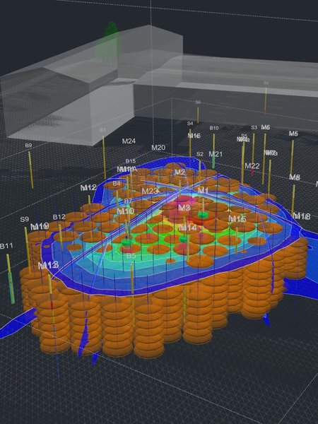
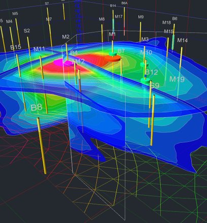
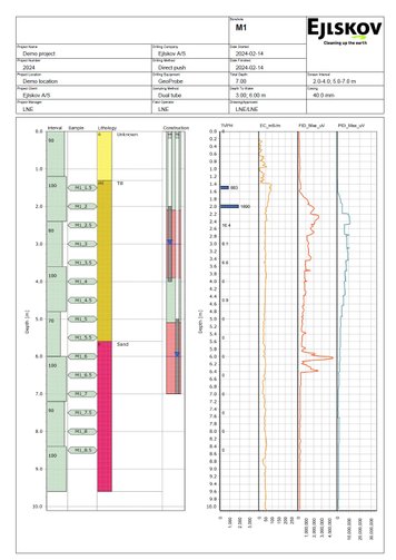
In ESM you can model your collected field data from direct push probes, soil samples or other sources into volumetric models.
This is also known as High Resolution Site Characterization (HRSC).
Soil sample concentration data can be transformed into distribution models enabling calculation of contaminant mass.
Remedial Design
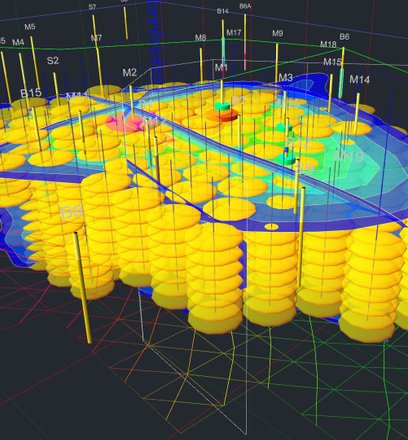
ESM offers a range of tools for designing in-situ treatment plans for contaminant plumes based on direct push and product injection methods.
The software helps lay out the treatment plan and calculates the number of injections and the total amount of product.
Borehole Data
Borehole data are stored in simple CSV files or databases. The built in borehole database format contains all borehole related data as well as field and lab data. Borehole data are easily accessible from the user interface and can be exported to reports.
Borehole data serves as source data for volumetric modeling.
Field Work
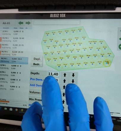
For field work, ESM offers acquisition modes suitable for rugged tablet computers where most input is done by simply tapping the screen.
The most important acquisition modes are for soil coring and in-situ remediation.
By using the acquisition modes your field data is logged and digitized immediately.
Licensing
Explore Our Licensing Options
Viewer License
Without a license, the software works as a viewer and is free of charge
Free
Project Manager and Modeler License (per year)
All features are enabled for project managers and modelers
2500 USD
Field Computer License
Field computer licenses for field data acquisition are free but require registration
Free
Startup Training Program
Startup training program consisting of online and onsite in person sessions. This package is mandatory to get you started when acquiring the first project manager license. Please contact us for more information on how to get started.
10000 USD
Download
Download the latest version here for Windows 64-bit. For viewing purposes, no license is required. To model your environmental sites or to use the application in the field, you need a license. See licensing options above and please contact us for more information about licensing.
Why work with Environmental Site Model Studio
Model Your High Resolution Environmental Data
All Environmental Data In One Place
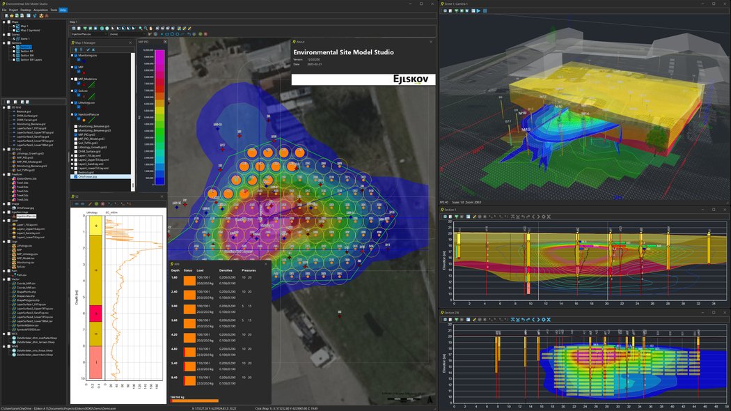
Overview of your environmental data in one environment. Background data, field and lab data. 3D volumetric contaminant mass distribution models. In-situ remediation plans and field data.
.
Advanced Visualization in
GIS, 2D, 3D, 4D
Detailed and powerful visualizations in GIS maps, 2D vertical cross sections, and 3D scenes. Time series animations in 4D using 2D and 3D views. 3D fly-around and 3D fly-by animations.
Feature Rich in the Office.
Touch Friendly in the Field
At the home office the application is feature rich with the full user interface available. In the field conducting soil coring or in-situ remediation, it is touch friendly with minimal typing required.
Contact
Let's Model Your Environmental Data Together!
Contact us for more information or a live demonstration
